Coval Passage at the junction of Coval Road
Introduction
The photograph on this page of Coval Passage at the junction of Coval Road by David Howard as part of the Geograph project.
The Geograph project started in 2005 with the aim of publishing, organising and preserving representative images for every square kilometre of Great Britain, Ireland and the Isle of Man.

There are currently over 7.5m images from over 14,400 individuals and you can help contribute to the project by visiting https://www.geograph.org.uk
Coval Passage at the junction of Coval Road
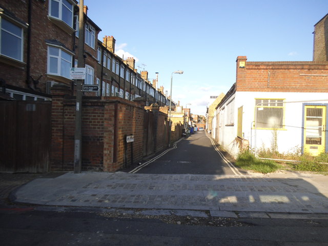
Image: © David Howard Taken: 2 Aug 2014
The council have recently put up notices (you can just see one at the side) telling people these are public byways. This goes behind the shops on Upper Richmond Road.
Images are licensed for reuse under creativecommons.org/licenses/by-sa/2.0
Image Location
Latitude
51.463859
Longitude
-0.27324