Power lines through a wheat field
Introduction
The photograph on this page of Power lines through a wheat field by Pauline E as part of the Geograph project.
The Geograph project started in 2005 with the aim of publishing, organising and preserving representative images for every square kilometre of Great Britain, Ireland and the Isle of Man.

There are currently over 7.5m images from over 14,400 individuals and you can help contribute to the project by visiting https://www.geograph.org.uk
Power lines through a wheat field
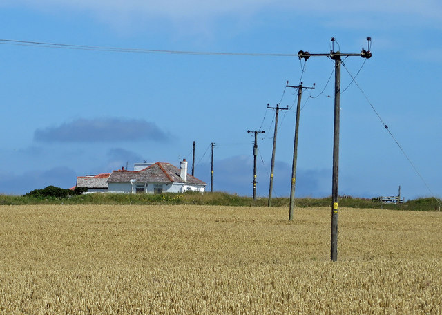
Image: © Pauline E Taken: 28 Jul 2014
The clifftop houses perch above Thornwick Bay.
Images are licensed for reuse under creativecommons.org/licenses/by-sa/2.0
Image Location


Leaflet Map data © OpenStreetMap
Latitude
54.131269
Longitude
-0.111422