Barn at Sunnyside Farm
Introduction
The photograph on this page of Barn at Sunnyside Farm by Jonathan Thacker as part of the Geograph project.
The Geograph project started in 2005 with the aim of publishing, organising and preserving representative images for every square kilometre of Great Britain, Ireland and the Isle of Man.

There are currently over 7.5m images from over 14,400 individuals and you can help contribute to the project by visiting https://www.geograph.org.uk
Barn at Sunnyside Farm
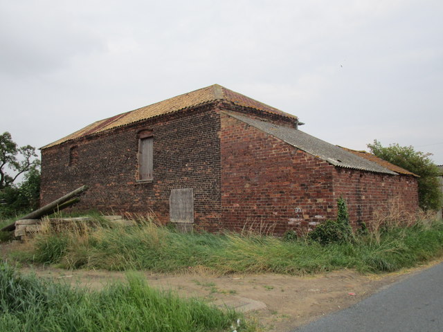
Image: © Jonathan Thacker Taken: 1 Aug 2014
Most of the farms at Balne seem to be of pretty much the same age. Presumably they date from the time the parish was enclosed.
Images are licensed for reuse under creativecommons.org/licenses/by-sa/2.0
Image Location


Leaflet Map data © OpenStreetMap
Latitude
53.66471
Longitude
-1.109628