Track round Upper Tamar Lake with gorse
Introduction
The photograph on this page of Track round Upper Tamar Lake with gorse by David Hawgood as part of the Geograph project.
The Geograph project started in 2005 with the aim of publishing, organising and preserving representative images for every square kilometre of Great Britain, Ireland and the Isle of Man.

There are currently over 7.5m images from over 14,400 individuals and you can help contribute to the project by visiting https://www.geograph.org.uk
Track round Upper Tamar Lake with gorse
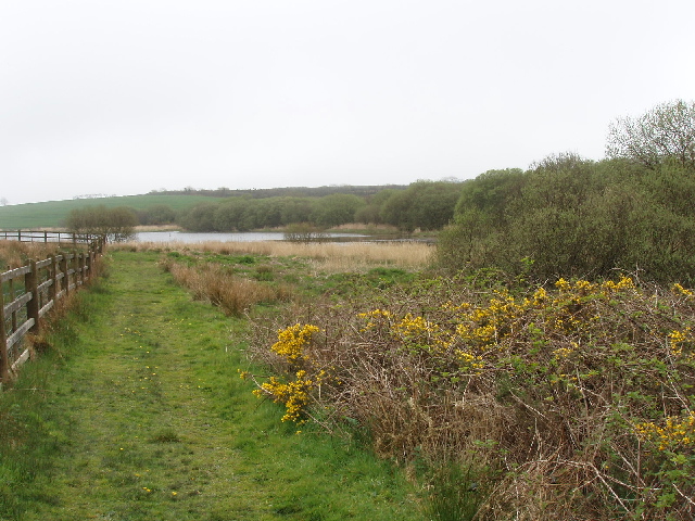
Image: © David Hawgood Taken: 15 Apr 2007
There is a track right round the lake, mainly used by anglers and walkers though we also met cyclists. It is not a public right of way, it is provided by South West Lakes Trust to be available to visitors.
Images are licensed for reuse under creativecommons.org/licenses/by-sa/2.0
Image Location


Leaflet Map data © OpenStreetMap
Latitude
50.889515
Longitude
-4.444291