Camp End Road
Introduction
The photograph on this page of Camp End Road by James Emmans as part of the Geograph project.
The Geograph project started in 2005 with the aim of publishing, organising and preserving representative images for every square kilometre of Great Britain, Ireland and the Isle of Man.

There are currently over 7.5m images from over 14,400 individuals and you can help contribute to the project by visiting https://www.geograph.org.uk
Camp End Road
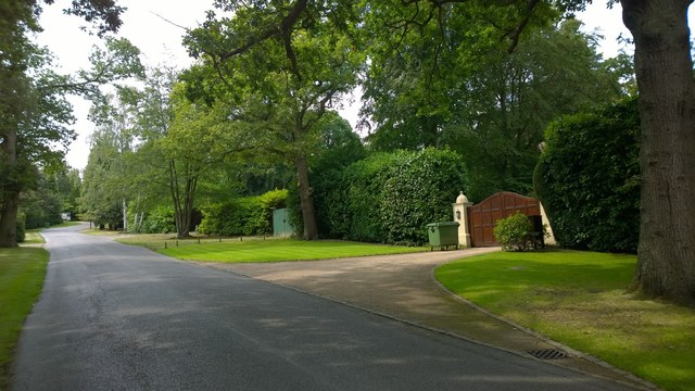
Image: © James Emmans Taken: 1 Aug 2014
St George's Hill had become an exclusive estate during the Edwardian period. A lot of development is going on now with larger houses replacing the originals. Some houses would have undergone a second or third replacement during that period. The green entrance is another house being completely rebuild and landscaping.
Images are licensed for reuse under creativecommons.org/licenses/by-sa/2.0
Image Location
Latitude
51.355021
Longitude
-0.437758