St George's Hill View
Introduction
The photograph on this page of St George's Hill View by James Emmans as part of the Geograph project.
The Geograph project started in 2005 with the aim of publishing, organising and preserving representative images for every square kilometre of Great Britain, Ireland and the Isle of Man.

There are currently over 7.5m images from over 14,400 individuals and you can help contribute to the project by visiting https://www.geograph.org.uk
St George's Hill View
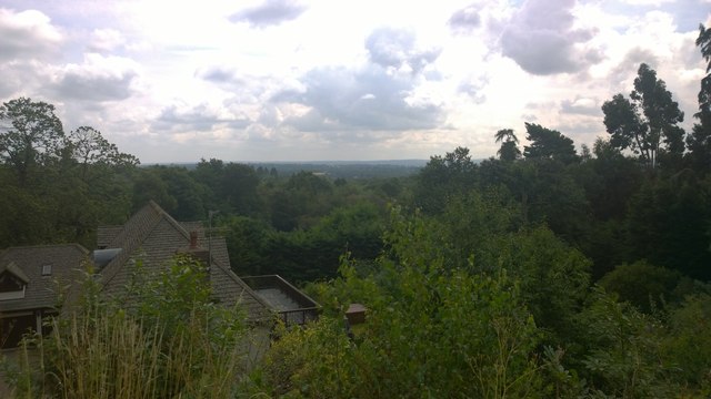
Image: © James Emmans Taken: 1 Aug 2014
The Apex is 78m, a large Roman Fort was built here. The hill around the flat fort area is surprisingly steep. This view looks over the mole valley to Cobham nearly 60m below. A secret walk can be found that follows the fort walls in aptly named Camp End Road. https://en.wikipedia.org/wiki/St._George%27s_Hill
Images are licensed for reuse under creativecommons.org/licenses/by-sa/2.0
Image Location
Latitude
51.343818
Longitude
-0.44058