Chalk Lane, Shackleford
Introduction
The photograph on this page of Chalk Lane, Shackleford by Alan Hunt as part of the Geograph project.
The Geograph project started in 2005 with the aim of publishing, organising and preserving representative images for every square kilometre of Great Britain, Ireland and the Isle of Man.

There are currently over 7.5m images from over 14,400 individuals and you can help contribute to the project by visiting https://www.geograph.org.uk
Chalk Lane, Shackleford
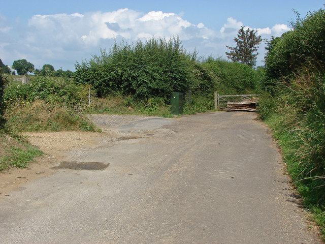
Image: © Alan Hunt Taken: 21 Jul 2014
The point at which Chalk Lane ceases to be a road and becomes a path. On the left is the start of the path across the fields towards New Barn.
Images are licensed for reuse under creativecommons.org/licenses/by-sa/2.0
Image Location
Latitude
51.203133
Longitude
-0.662341