John Roan playing fields (1)
Introduction
The photograph on this page of John Roan playing fields (1) by Stephen Craven as part of the Geograph project.
The Geograph project started in 2005 with the aim of publishing, organising and preserving representative images for every square kilometre of Great Britain, Ireland and the Isle of Man.

There are currently over 7.5m images from over 14,400 individuals and you can help contribute to the project by visiting https://www.geograph.org.uk
John Roan playing fields (1)
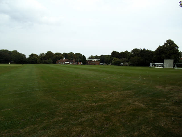
Image: © Stephen Craven Taken: 31 Jul 2014
These are the playing fields of the John Roan secondary school Image in Westcombe Park a couple of miles away. Viewed from Sunnydale Road at the western side. There is evidence of use as an athletics track in the foreground, and on the far side is a cricket pavilion, seen closer up and from the other side in Image
Images are licensed for reuse under creativecommons.org/licenses/by-sa/2.0
Image Location
Latitude
51.455568
Longitude
0.025696