Milton Road: cycle lane closed
Introduction
The photograph on this page of Milton Road: cycle lane closed by John Sutton as part of the Geograph project.
The Geograph project started in 2005 with the aim of publishing, organising and preserving representative images for every square kilometre of Great Britain, Ireland and the Isle of Man.

There are currently over 7.5m images from over 14,400 individuals and you can help contribute to the project by visiting https://www.geograph.org.uk
Milton Road: cycle lane closed
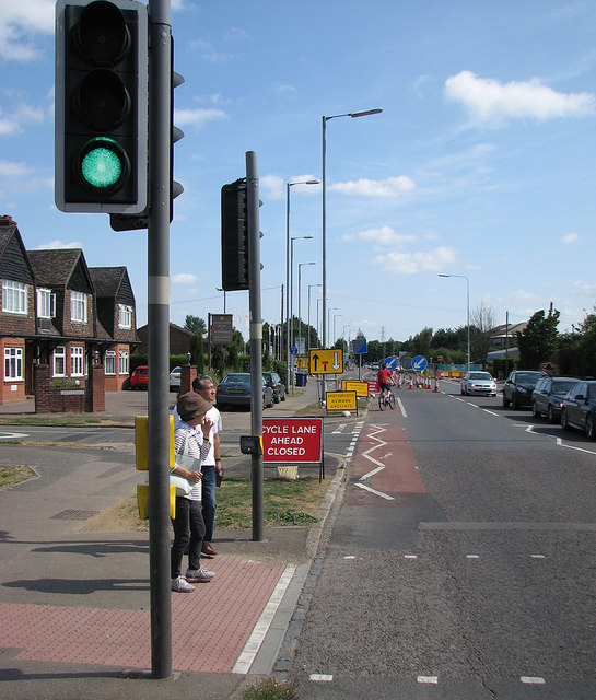
Image: © John Sutton Taken: 31 Jul 2014
Construction of a spur of the guided busway towards the new railway station to be built at Chesterton Sidings has involved a controversial closing of the cycle lane and part of the road. On the limited evidence of my brief visit motorists were being uncharacteristically sensible and accommodating.
Images are licensed for reuse under creativecommons.org/licenses/by-sa/2.0
Image Location
Latitude
52.228296
Longitude
0.146495