Mill Bridge, Mill Lane
Introduction
The photograph on this page of Mill Bridge, Mill Lane by Andy Potter as part of the Geograph project.
The Geograph project started in 2005 with the aim of publishing, organising and preserving representative images for every square kilometre of Great Britain, Ireland and the Isle of Man.

There are currently over 7.5m images from over 14,400 individuals and you can help contribute to the project by visiting https://www.geograph.org.uk
Mill Bridge, Mill Lane
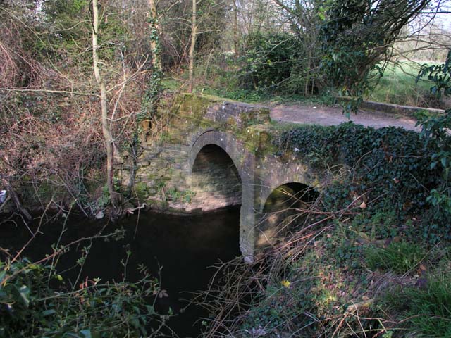
Image: © Andy Potter Taken: 7 Apr 2007
Mill Lane once ran from the centre of Broadbridge Heath, past Corsletts Farm, over this bridge near Broadbridge farm and on to Itchingfield. Presumably this route fell into disuse with the construction of New Bridge 1km downstream to the west although it was thought worth protecting during WW2 with a roadblock and pillbox. It now carries bridleway 1630 and is blocked to vehicles.
Images are licensed for reuse under creativecommons.org/licenses/by-sa/2.0
Image Location
Latitude
51.060845
Longitude
-0.369905