
Idle Hill
Introduction
The photograph on this page of Idle Hill by Rude Health as part of the Geograph project.
The Geograph project started in 2005 with the aim of publishing, organising and preserving representative images for every square kilometre of Great Britain, Ireland and the Isle of Man.

There are currently over 7.5m images from over 14,400 individuals and you can help contribute to the project by visiting https://www.geograph.org.uk
Idle Hill
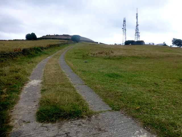
Image: © Rude Health Taken: 30 Jul 2014
Short walk from lane to the north, Wrosecliffe Grove, over one wall then round and up to trig. Then down the unlocked access track to the reservoir compound between Cotswold Ave and Welwyn Ave . Cut Mark on the gatepost at the bottom. Name: Idle Hill Hill number: 16721 Height: 228m / 748ft Parent (Ma/M): 2816 Boulsworth Hill - Lad Law Area: 36: Lancashire, Cheshire & the Southern Pennines Class: 2 Grid ref: SE164373 (est) Drop: 61m Col: 167m
Images are licensed for reuse under creativecommons.org/licenses/by-sa/2.0
Image Location

Latitude
53.83305
Longitude
-1.750926