The approach to Sempringham House Farm along Neslam Road
Introduction
The photograph on this page of The approach to Sempringham House Farm along Neslam Road by Marathon as part of the Geograph project.
The Geograph project started in 2005 with the aim of publishing, organising and preserving representative images for every square kilometre of Great Britain, Ireland and the Isle of Man.

There are currently over 7.5m images from over 14,400 individuals and you can help contribute to the project by visiting https://www.geograph.org.uk
The approach to Sempringham House Farm along Neslam Road
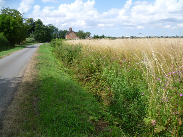
Image: © Marathon Taken: 28 Jul 2014
This is Neslam Road after leaving Neslam Fen as it approaches Sempringham House Farm. The main farm buildings are out of sight to the left of the road. As usual with these Fenland roads there is a drainage ditch on at least one side of the road, in this case on the north side.
Images are licensed for reuse under creativecommons.org/licenses/by-sa/2.0
Image Location
Latitude
52.881393
Longitude
-0.332191