The Archaeological Way near Pleasley Mills
Introduction
The photograph on this page of The Archaeological Way near Pleasley Mills by Jonathan Clitheroe as part of the Geograph project.
The Geograph project started in 2005 with the aim of publishing, organising and preserving representative images for every square kilometre of Great Britain, Ireland and the Isle of Man.

There are currently over 7.5m images from over 14,400 individuals and you can help contribute to the project by visiting https://www.geograph.org.uk
The Archaeological Way near Pleasley Mills
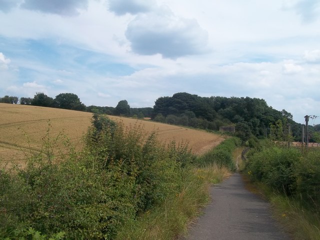
Image: © Jonathan Clitheroe Taken: 26 Jul 2014
Bridleway and long-distance footpath seen here from the B6407 Road as the track begins its descent into Pleasley Vale. The stone pillar on the right of picture in front of the trees marks the route of a defunct railway line.
Images are licensed for reuse under creativecommons.org/licenses/by-sa/2.0
Image Location
Latitude
53.185404
Longitude
-1.236012