The Former Gun Inn, Dorking
Introduction
The photograph on this page of The Former Gun Inn, Dorking by David960 as part of the Geograph project.
The Geograph project started in 2005 with the aim of publishing, organising and preserving representative images for every square kilometre of Great Britain, Ireland and the Isle of Man.

There are currently over 7.5m images from over 14,400 individuals and you can help contribute to the project by visiting https://www.geograph.org.uk
The Former Gun Inn, Dorking
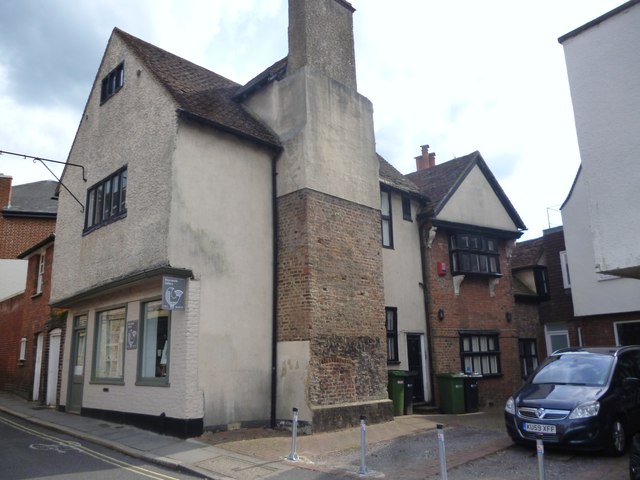
Image: © David960 Taken: 27 Jul 2014
Grade II listed: http://www.britishlistedbuildings.co.uk/en-403541-1-and-2-north-street-surrey Not greatly changed from the drawing at http://www.dorkingmuseum.org.uk/collections/watercolour-collection/arthur-c-fare/
Images are licensed for reuse under creativecommons.org/licenses/by-sa/2.0
Image Location
Latitude
51.231733
Longitude
-0.333365