West along Stonehenge Road, Wichelstowe, Swindon
Introduction
The photograph on this page of West along Stonehenge Road, Wichelstowe, Swindon by Brian Robert Marshall as part of the Geograph project.
The Geograph project started in 2005 with the aim of publishing, organising and preserving representative images for every square kilometre of Great Britain, Ireland and the Isle of Man.

There are currently over 7.5m images from over 14,400 individuals and you can help contribute to the project by visiting https://www.geograph.org.uk
West along Stonehenge Road, Wichelstowe, Swindon
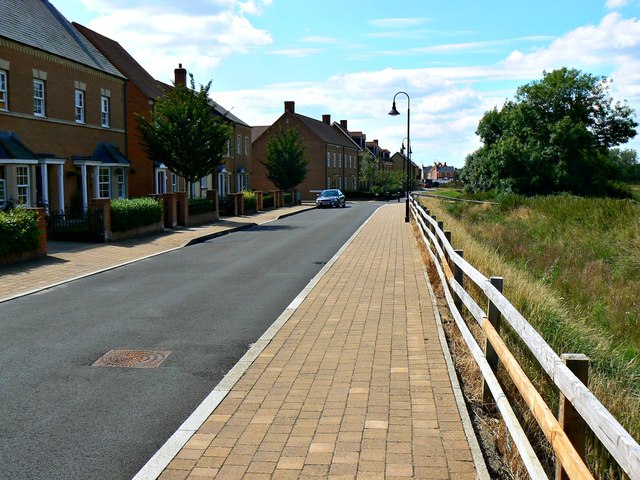
Image: © Brian Robert Marshall Taken: 29 Jul 2014
The houses here are part of the Wichelstowe development on land once called colloquially Swindon's front garden. The view was a little different in 2007 when I last photographed it http://www.geograph.org.uk/photo/584093 from a viewpoint that is now inside a school playground.
Images are licensed for reuse under creativecommons.org/licenses/by-sa/2.0
Image Location
Latitude
51.543526
Longitude
-1.792507