OS pivot mark - Aqualate Lodge building
Introduction
The photograph on this page of OS pivot mark - Aqualate Lodge building by Richard Law as part of the Geograph project.
The Geograph project started in 2005 with the aim of publishing, organising and preserving representative images for every square kilometre of Great Britain, Ireland and the Isle of Man.

There are currently over 7.5m images from over 14,400 individuals and you can help contribute to the project by visiting https://www.geograph.org.uk
OS pivot mark - Aqualate Lodge building
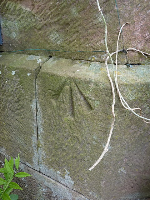
Image: © Richard Law Taken: 21 Jun 2014
An OS pivot mark low on the wall of the recently-renovated Image at one entrance to Aqualate Park; originally levelled at 74.746m above Ordnance Datum Newlyn.
Images are licensed for reuse under creativecommons.org/licenses/by-sa/2.0
Image Location
Latitude
52.770041
Longitude
-2.330335