Tuag at / Towards Pentre Wyman
Introduction
The photograph on this page of Tuag at / Towards Pentre Wyman by Alan Richards as part of the Geograph project.
The Geograph project started in 2005 with the aim of publishing, organising and preserving representative images for every square kilometre of Great Britain, Ireland and the Isle of Man.

There are currently over 7.5m images from over 14,400 individuals and you can help contribute to the project by visiting https://www.geograph.org.uk
Tuag at / Towards Pentre Wyman
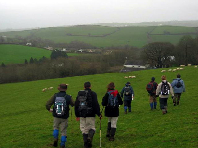
Image: © Alan Richards Taken: 31 Dec 2006
Cerddwyr yn dilyn llwybr i gyfeiriad Ffarm Pentre Wyman. Walkers following a path in the direction of Pentre Wyman Farm.
Images are licensed for reuse under creativecommons.org/licenses/by-sa/2.0
Image Location
Latitude
51.807137
Longitude
-4.364383