Bathley Lane Crossing and signal box
Introduction
The photograph on this page of Bathley Lane Crossing and signal box by Alan Murray-Rust as part of the Geograph project.
The Geograph project started in 2005 with the aim of publishing, organising and preserving representative images for every square kilometre of Great Britain, Ireland and the Isle of Man.

There are currently over 7.5m images from over 14,400 individuals and you can help contribute to the project by visiting https://www.geograph.org.uk
Bathley Lane Crossing and signal box
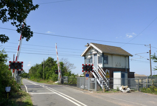
Image: © Alan Murray-Rust Taken: 24 Jul 2014
One of the few crossings along this section of the East Coast Main Line where the box still survives, but not for much longer. The crossing itself is due to be closed within 3-4 years as part of Network Rail's programme of level crossing removal.
Images are licensed for reuse under creativecommons.org/licenses/by-sa/2.0
Image Location
Latitude
53.120878
Longitude
-0.819506