Farmland near Caddam
Introduction
The photograph on this page of Farmland near Caddam by William Starkey as part of the Geograph project.
The Geograph project started in 2005 with the aim of publishing, organising and preserving representative images for every square kilometre of Great Britain, Ireland and the Isle of Man.

There are currently over 7.5m images from over 14,400 individuals and you can help contribute to the project by visiting https://www.geograph.org.uk
Farmland near Caddam
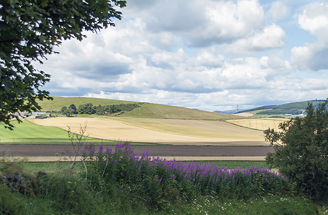
Image: © William Starkey Taken: 28 Jul 2014
Mixed farming near Caddam in Angus, with arable cultivation - mostly barley - on the lower ground, and grazing land on the hillsides. The roadside verges are lined with the tall growth of rosebay willowherb in many places.
Images are licensed for reuse under creativecommons.org/licenses/by-sa/2.0
Image Location
Latitude
56.698741
Longitude
-3.00817