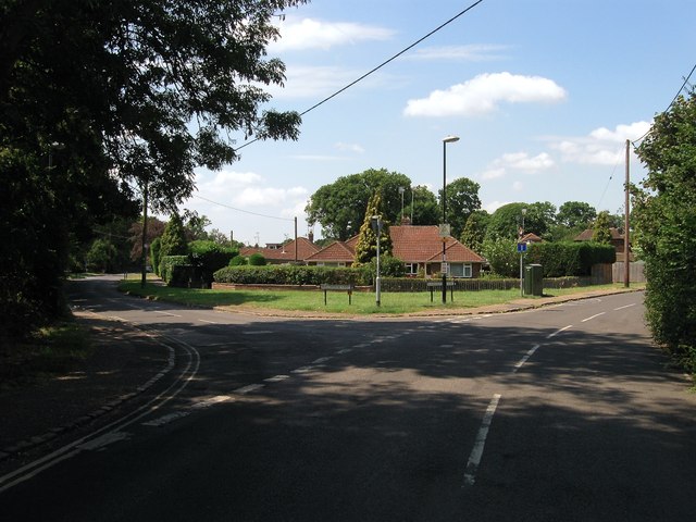
Gatehouse Lane, Burgess Hill
Introduction
The photograph on this page of Gatehouse Lane, Burgess Hill by Simon Carey as part of the Geograph project.
The Geograph project started in 2005 with the aim of publishing, organising and preserving representative images for every square kilometre of Great Britain, Ireland and the Isle of Man.
There are currently over 7.5m images from over 14,400 individuals and you can help contribute to the project by visiting https://www.geograph.org.uk

Image: © Simon Carey Taken: 25 Jul 2014
Looking towards the junction with Malthouse Lane. Between the two lanes and the former parish boundary separating Clayton from Hurstpierpoint was Shelley's Wood, whose northern part adjacent to Gatehouse Lane was built upon during the 1930s with the rest of it to the south developed during the 1960s becoming for a time the western end of Burgess Hill, until that too was extended further westwards in the 1990s. Gatehouse Lane was also the old route used by those from the town wishing to join the A23 following a number of country roads, Bishopstone Lane and Job's Lane to Hickstead. This too was replaced by the construction of the A2300 in 1997.

