Grain field and grain store
Introduction
The photograph on this page of Grain field and grain store by Julian Paren as part of the Geograph project.
The Geograph project started in 2005 with the aim of publishing, organising and preserving representative images for every square kilometre of Great Britain, Ireland and the Isle of Man.

There are currently over 7.5m images from over 14,400 individuals and you can help contribute to the project by visiting https://www.geograph.org.uk
Grain field and grain store
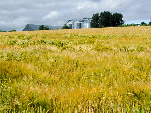
Image: © Julian Paren Taken: 28 Jul 2014
Grainstuffs, potatoes and oilseed rape are the principal crops grown by Black Isle farmers. Close to Tore is a large grain store that dominates the immediate area.
Images are licensed for reuse under creativecommons.org/licenses/by-sa/2.0
Image Location
Latitude
57.529914
Longitude
-4.316914