Towards a barrier in the SE part of Mon Bank, Newport
Introduction
The photograph on this page of Towards a barrier in the SE part of Mon Bank, Newport by Jaggery as part of the Geograph project.
The Geograph project started in 2005 with the aim of publishing, organising and preserving representative images for every square kilometre of Great Britain, Ireland and the Isle of Man.

There are currently over 7.5m images from over 14,400 individuals and you can help contribute to the project by visiting https://www.geograph.org.uk
Towards a barrier in the SE part of Mon Bank, Newport
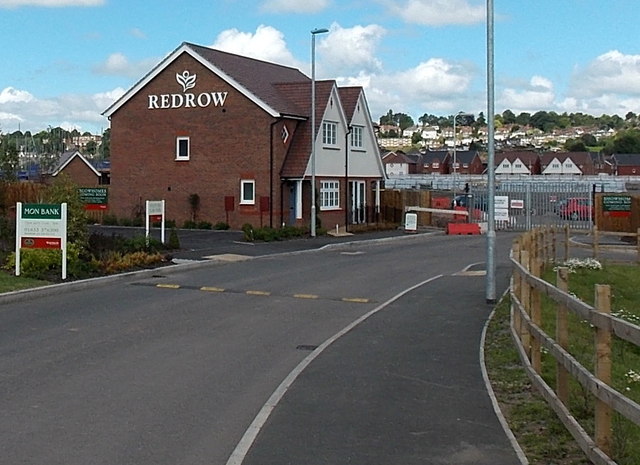
Image: © Jaggery Taken: 20 Jul 2014
In July 2014, the grey gates in the background are as far as the general public can go in this SE part of Mon Bank, a Redrow housing development of former railway land. Eventually there will be a through road to the Cardiff Road side of Mon Bank.
Images are licensed for reuse under creativecommons.org/licenses/by-sa/2.0
Image Location
Latitude
51.573011
Longitude
-3.000053