The Coach House at entrance to St John's House
Introduction
The photograph on this page of The Coach House at entrance to St John's House by Roger Templeman as part of the Geograph project.
The Geograph project started in 2005 with the aim of publishing, organising and preserving representative images for every square kilometre of Great Britain, Ireland and the Isle of Man.

There are currently over 7.5m images from over 14,400 individuals and you can help contribute to the project by visiting https://www.geograph.org.uk
The Coach House at entrance to St John's House
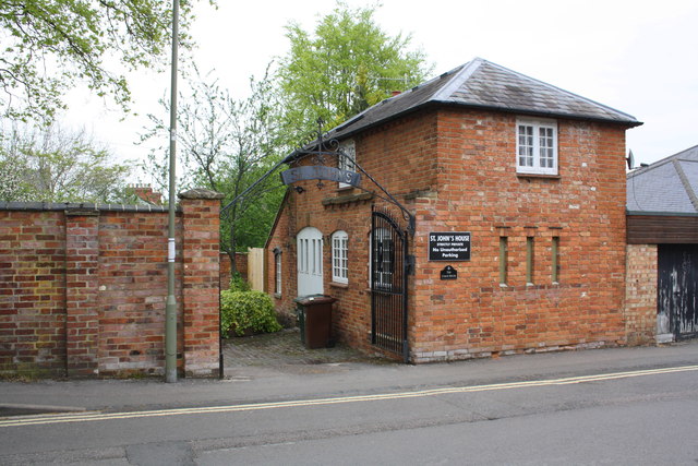
Image: © Roger Templeman Taken: 29 Apr 2014
There was until recently an Ordnance Survey cut mark benchmark (described on the Bench Mark Database at http://www.bench-marks.org.uk/bm30479 ) on the end of wall pier at the left hand side of the entrance. This pier appears to have been rebuilt with loss of the mark.
Images are licensed for reuse under creativecommons.org/licenses/by-sa/2.0
Image Location
Latitude
52.057609
Longitude
-1.339258