Drying Grass For Hay, Burnt Edge Lane
Introduction
The photograph on this page of Drying Grass For Hay, Burnt Edge Lane by Mark Anderson as part of the Geograph project.
The Geograph project started in 2005 with the aim of publishing, organising and preserving representative images for every square kilometre of Great Britain, Ireland and the Isle of Man.

There are currently over 7.5m images from over 14,400 individuals and you can help contribute to the project by visiting https://www.geograph.org.uk
Drying Grass For Hay, Burnt Edge Lane
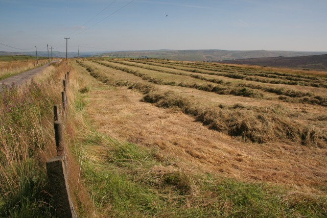
Image: © Mark Anderson Taken: 21 Aug 2005
Looking SE from the bridleway at SD 947 279. Stoodley Pike can be seen in the distance to the right.
Images are licensed for reuse under creativecommons.org/licenses/by-sa/2.0
Image Location


Leaflet Map data © OpenStreetMap
Latitude
53.747266
Longitude
-2.080784