Round Head/Copse Field/Three Acres
Introduction
The photograph on this page of Round Head/Copse Field/Three Acres by Simon Carey as part of the Geograph project.
The Geograph project started in 2005 with the aim of publishing, organising and preserving representative images for every square kilometre of Great Britain, Ireland and the Isle of Man.

There are currently over 7.5m images from over 14,400 individuals and you can help contribute to the project by visiting https://www.geograph.org.uk
Round Head/Copse Field/Three Acres
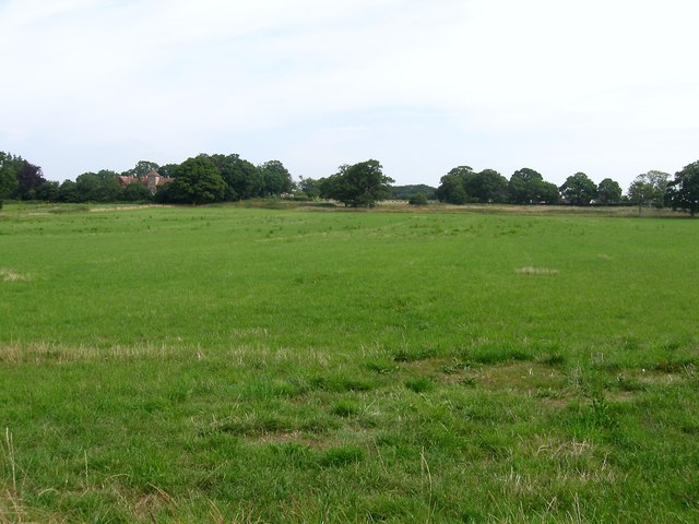
Image: © Simon Carey Taken: 25 Jul 2014
The name of the fields according to Hurstpierpoint's 1842 tithe map that have been merged together to form a larger unit. Three Acres was in the foreground adjacent to Northend lane whilst Round Head occupied the north west part and Copse Field the north east adjacent to Image The house in the distance to the left is Naldretts.
Images are licensed for reuse under creativecommons.org/licenses/by-sa/2.0
Image Location
Latitude
50.959038
Longitude
-0.180667