Woking Town Square
Introduction
The photograph on this page of Woking Town Square by Ron Strutt as part of the Geograph project.
The Geograph project started in 2005 with the aim of publishing, organising and preserving representative images for every square kilometre of Great Britain, Ireland and the Isle of Man.

There are currently over 7.5m images from over 14,400 individuals and you can help contribute to the project by visiting https://www.geograph.org.uk
Woking Town Square
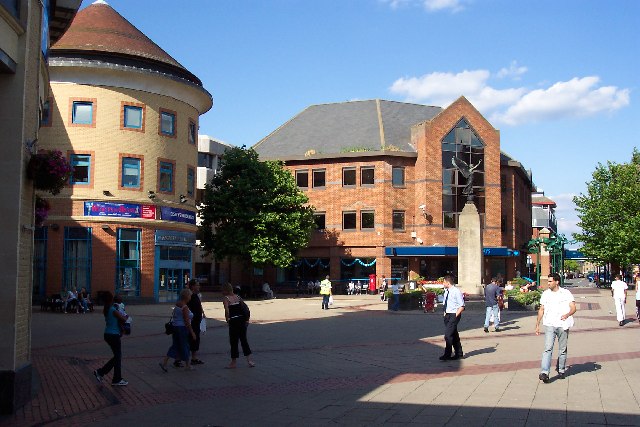
Image: © Ron Strutt Taken: 21 Aug 2005
In 1838 when the railway arrived, Woking town centre was open heathland. The town developed in a fairly piecemeal fashion and had reached a form of completion by the mid-1980s, when redevelopment began again. A short-lived town centre swimming pool disappeared as part of those changes, to be replaced by the Pool in the Park. The present form of the town centre, including the modern library, the Peacocks shopping centre, and the refashioned Wolsey Way centre date from that time.
Images are licensed for reuse under creativecommons.org/licenses/by-sa/2.0
Image Location


Leaflet Map data © OpenStreetMap
Latitude
51.316743
Longitude
-0.55931