Denham Road, Burgess Hill
Introduction
The photograph on this page of Denham Road, Burgess Hill by Simon Carey as part of the Geograph project.
The Geograph project started in 2005 with the aim of publishing, organising and preserving representative images for every square kilometre of Great Britain, Ireland and the Isle of Man.

There are currently over 7.5m images from over 14,400 individuals and you can help contribute to the project by visiting https://www.geograph.org.uk
Denham Road, Burgess Hill
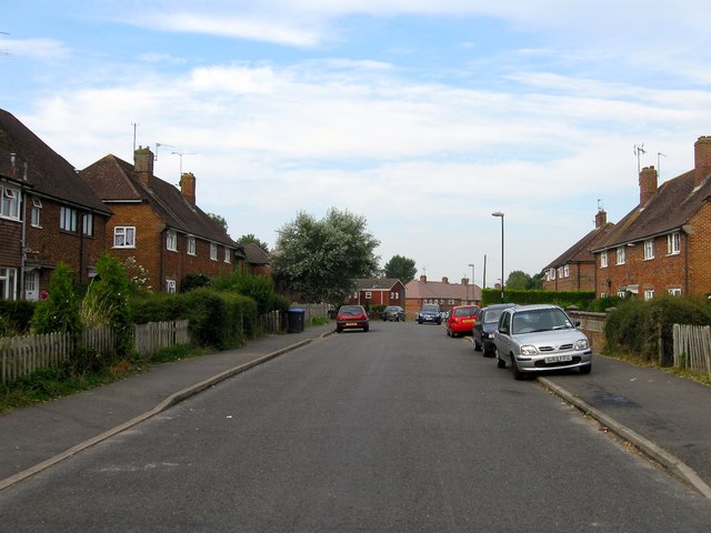
Image: © Simon Carey Taken: 25 Jul 2014
The section in the foreground was built during the 1930s with the remainder of the road continuing round to Malthouse Lane not added until after the Second World War. The differing styles of the houses in the foreground and those in the distance underline the difference.
Images are licensed for reuse under creativecommons.org/licenses/by-sa/2.0
Image Location
Latitude
50.96009
Longitude
-0.150294