Llwybr Pantyffynnon Path
Introduction
The photograph on this page of Llwybr Pantyffynnon Path by Alan Richards as part of the Geograph project.
The Geograph project started in 2005 with the aim of publishing, organising and preserving representative images for every square kilometre of Great Britain, Ireland and the Isle of Man.

There are currently over 7.5m images from over 14,400 individuals and you can help contribute to the project by visiting https://www.geograph.org.uk
Llwybr Pantyffynnon Path
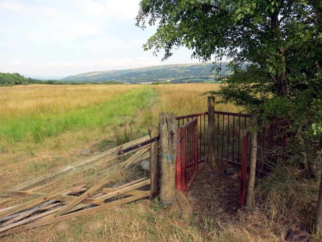
Image: © Alan Richards Taken: 26 Jul 2014
Gât fochyn ar lwybr cyhoeddus sy'n cysylltu Tycroes â Phantyffynnon. A kissing gate on a public footpath linking Tycroes (trans. Crossroads house) with Pantyffynnon (well hollow).
Images are licensed for reuse under creativecommons.org/licenses/by-sa/2.0
Image Location
Latitude
51.780718
Longitude
-4.010703