Road near Southernknowe
Introduction
The photograph on this page of Road near Southernknowe by Andrew Curtis as part of the Geograph project.
The Geograph project started in 2005 with the aim of publishing, organising and preserving representative images for every square kilometre of Great Britain, Ireland and the Isle of Man.

There are currently over 7.5m images from over 14,400 individuals and you can help contribute to the project by visiting https://www.geograph.org.uk
Road near Southernknowe
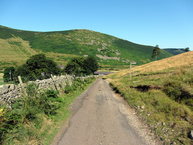
Image: © Andrew Curtis Taken: 25 Jul 2014
The footpath heading off on the right goes over the hills to Commonburn House Image The hill behind is the northern spur of Blackhaggs Rigg which is crowned by a hill-fort Image
Images are licensed for reuse under creativecommons.org/licenses/by-sa/2.0
Image Location
Latitude
55.514043
Longitude
-2.175745