Auld Kirk, Tayport
Introduction
The photograph on this page of Auld Kirk, Tayport by Douglas Nelson as part of the Geograph project.
The Geograph project started in 2005 with the aim of publishing, organising and preserving representative images for every square kilometre of Great Britain, Ireland and the Isle of Man.

There are currently over 7.5m images from over 14,400 individuals and you can help contribute to the project by visiting https://www.geograph.org.uk
Auld Kirk, Tayport
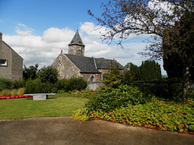
Image: © Douglas Nelson Taken: 16 Jul 2014
Now unused as a church for over twenty years, Tayport Auld Kirk, is one of the best known landmarks in the area. It has a distinctive leaning clock tower.
Images are licensed for reuse under creativecommons.org/licenses/by-sa/2.0
Image Location
Latitude
56.447441
Longitude
-2.879027