The Watercress Line Approaching Four Marks
Introduction
The photograph on this page of The Watercress Line Approaching Four Marks by David Dixon as part of the Geograph project.
The Geograph project started in 2005 with the aim of publishing, organising and preserving representative images for every square kilometre of Great Britain, Ireland and the Isle of Man.

There are currently over 7.5m images from over 14,400 individuals and you can help contribute to the project by visiting https://www.geograph.org.uk
The Watercress Line Approaching Four Marks
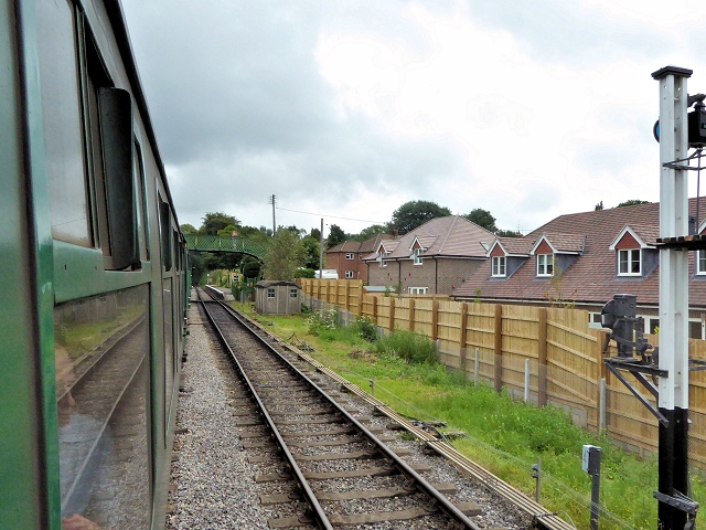
Image: © David Dixon Taken: 19 Jul 2014
The Mid-Hants Railway approaching the Medstead and Four Marks Railway Station. At 644 ft above sea level, it is believed to be the highest operational standard-gauge railway station in Southern England http://en.wikipedia.org/wiki/Medstead_and_Four_Marks_railway_station . The station's footbridge can be seen ahead.
Images are licensed for reuse under creativecommons.org/licenses/by-sa/2.0
Image Location
Latitude
51.112841
Longitude
-1.047387