West Hackney House, Northwold Road
Introduction
The photograph on this page of West Hackney House, Northwold Road by Jim Osley as part of the Geograph project.
The Geograph project started in 2005 with the aim of publishing, organising and preserving representative images for every square kilometre of Great Britain, Ireland and the Isle of Man.

There are currently over 7.5m images from over 14,400 individuals and you can help contribute to the project by visiting https://www.geograph.org.uk
West Hackney House, Northwold Road
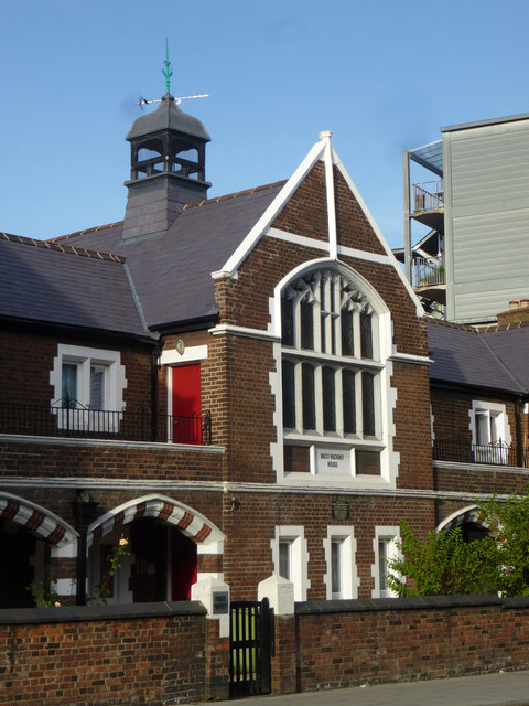
Image: © Jim Osley Taken: 18 Jul 2014
Almshouses of the early 20th century - Grade II listed building, described at this http://list.english-heritage.org.uk/resultsingle.aspx?uid=1265172.
Images are licensed for reuse under creativecommons.org/licenses/by-sa/2.0
Image Location
Latitude
51.56315
Longitude
-0.07211