The road to Drybrook
Introduction
The photograph on this page of The road to Drybrook by Stuart Wilding as part of the Geograph project.
The Geograph project started in 2005 with the aim of publishing, organising and preserving representative images for every square kilometre of Great Britain, Ireland and the Isle of Man.

There are currently over 7.5m images from over 14,400 individuals and you can help contribute to the project by visiting https://www.geograph.org.uk
The road to Drybrook
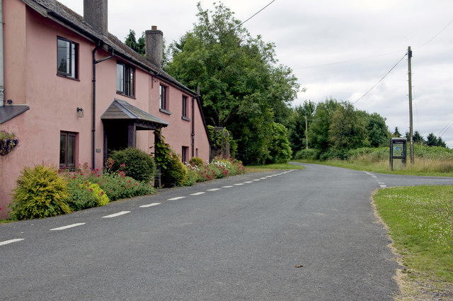
Image: © Stuart Wilding Taken: 13 Jul 2014
This out of the way lane runs between Wigpool Common and Drybrook.
Images are licensed for reuse under creativecommons.org/licenses/by-sa/2.0
Image Location


Leaflet Map data © OpenStreetMap
Latitude
51.86891
Longitude
-2.511916