Bellows Nose/Copse Field
Introduction
The photograph on this page of Bellows Nose/Copse Field by Simon Carey as part of the Geograph project.
The Geograph project started in 2005 with the aim of publishing, organising and preserving representative images for every square kilometre of Great Britain, Ireland and the Isle of Man.

There are currently over 7.5m images from over 14,400 individuals and you can help contribute to the project by visiting https://www.geograph.org.uk
Bellows Nose/Copse Field
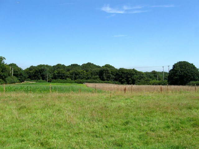
Image: © Simon Carey Taken: 22 Jul 2014
The name of the fields according to Hurstpierpoint's 1842 tithe map that have been merged to form a larger unit. To the south is the remaining part of Image, whilst to the east is Image, Image is to the west whilst The Gill is the wood at the far end of the field.
Images are licensed for reuse under creativecommons.org/licenses/by-sa/2.0
Image Location
Latitude
50.961986
Longitude
-0.179412