Cwmisfael
Introduction
The photograph on this page of Cwmisfael by Alan Richards as part of the Geograph project.
The Geograph project started in 2005 with the aim of publishing, organising and preserving representative images for every square kilometre of Great Britain, Ireland and the Isle of Man.

There are currently over 7.5m images from over 14,400 individuals and you can help contribute to the project by visiting https://www.geograph.org.uk
Cwmisfael
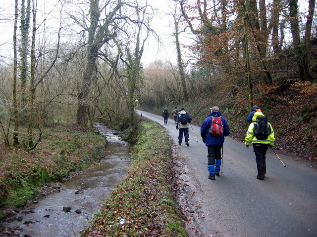
Image: © Alan Richards Taken: 12 Mar 2006
Cerddwyr ar lan nant wrth gyrraedd treflan Cwm Isfael. Walking alongside a stream while arriving at the hamlet of Cwm Isfael.
Images are licensed for reuse under creativecommons.org/licenses/by-sa/2.0
Image Location
Latitude
51.819994
Longitude
-4.188027