Rectory Green
Introduction
The photograph on this page of Rectory Green by Hugh Craddock as part of the Geograph project.
The Geograph project started in 2005 with the aim of publishing, organising and preserving representative images for every square kilometre of Great Britain, Ireland and the Isle of Man.

There are currently over 7.5m images from over 14,400 individuals and you can help contribute to the project by visiting https://www.geograph.org.uk
Rectory Green
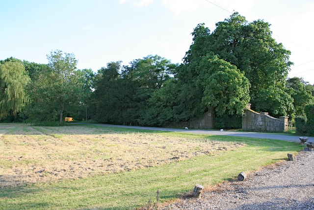
Image: © Hugh Craddock Taken: 24 Jun 2014
Part of the area of Rectory Lane waste. It is at its deepest here, between Oak House (the drive to which crosses the common and from which the photograph is taken) and Stonecrop, known as Rectory Green. This part is mown and kept open.
Images are licensed for reuse under creativecommons.org/licenses/by-sa/2.0
Image Location
Latitude
51.248569
Longitude
-0.254521