Centre Pivot Irrigation System
Introduction
The photograph on this page of Centre Pivot Irrigation System by Keith Evans as part of the Geograph project.
The Geograph project started in 2005 with the aim of publishing, organising and preserving representative images for every square kilometre of Great Britain, Ireland and the Isle of Man.

There are currently over 7.5m images from over 14,400 individuals and you can help contribute to the project by visiting https://www.geograph.org.uk
Centre Pivot Irrigation System
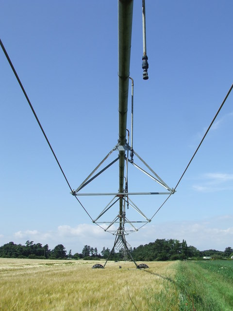
Image: © Keith Evans Taken: 17 Jul 2014
Underneath a centre pivot irrigation system near to Hollesley, Suffolk. For other views see http://www.geograph.org.uk/photo/4082450 http://www.geograph.org.uk/photo/4082446
Images are licensed for reuse under creativecommons.org/licenses/by-sa/2.0
Image Location
Latitude
52.049376
Longitude
1.414072