Sweeping curve
Introduction
The photograph on this page of Sweeping curve by Jonathan Billinger as part of the Geograph project.
The Geograph project started in 2005 with the aim of publishing, organising and preserving representative images for every square kilometre of Great Britain, Ireland and the Isle of Man.

There are currently over 7.5m images from over 14,400 individuals and you can help contribute to the project by visiting https://www.geograph.org.uk
Sweeping curve
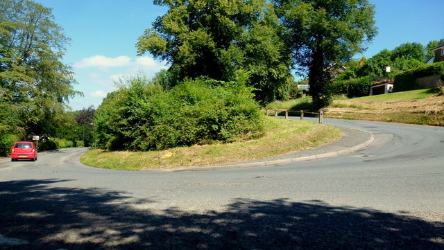
Image: © Jonathan Billinger Taken: 17 Jul 2014
The B4218 descending the east side of The Wyche via switchbacks like this one.
Images are licensed for reuse under creativecommons.org/licenses/by-sa/2.0
Image Location
Latitude
52.086832
Longitude
-2.342484