RAFA Club, St David's
Introduction
The photograph on this page of RAFA Club, St David's by Jaggery as part of the Geograph project.
The Geograph project started in 2005 with the aim of publishing, organising and preserving representative images for every square kilometre of Great Britain, Ireland and the Isle of Man.

There are currently over 7.5m images from over 14,400 individuals and you can help contribute to the project by visiting https://www.geograph.org.uk
RAFA Club, St David's
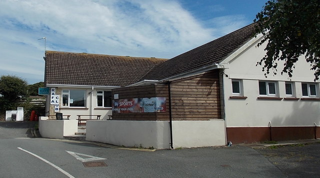
Image: © Jaggery Taken: 21 Jul 2014
The St David's and Solva RAFA (Royal Air Force Association) Club's bar and lounge is set back 60 metres from New Street.
Images are licensed for reuse under creativecommons.org/licenses/by-sa/2.0
Image Location


Leaflet Map data © OpenStreetMap
Latitude
51.881858
Longitude
-5.262899