Houses on Scrubs Lane, College Park
Introduction
The photograph on this page of Houses on Scrubs Lane, College Park by David Howard as part of the Geograph project.
The Geograph project started in 2005 with the aim of publishing, organising and preserving representative images for every square kilometre of Great Britain, Ireland and the Isle of Man.

There are currently over 7.5m images from over 14,400 individuals and you can help contribute to the project by visiting https://www.geograph.org.uk
Houses on Scrubs Lane, College Park
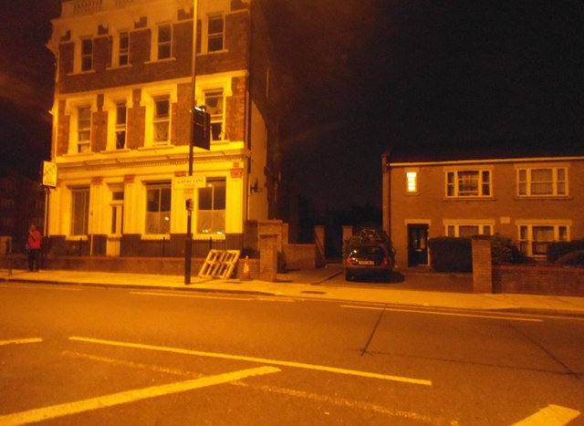
Image: © David Howard Taken: 22 Jul 2014
I had a friend who lived in the flats opposite here who told me the name of the area. The building on the left was a pub from memory.
Images are licensed for reuse under creativecommons.org/licenses/by-sa/2.0
Image Location
Latitude
51.531569
Longitude
-0.236798