Llwybr Penybanc Path
Introduction
The photograph on this page of Llwybr Penybanc Path by Alan Richards as part of the Geograph project.
The Geograph project started in 2005 with the aim of publishing, organising and preserving representative images for every square kilometre of Great Britain, Ireland and the Isle of Man.

There are currently over 7.5m images from over 14,400 individuals and you can help contribute to the project by visiting https://www.geograph.org.uk
Llwybr Penybanc Path
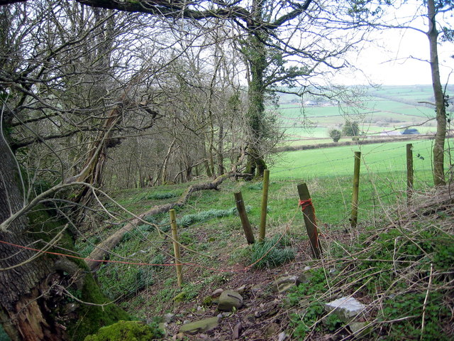
Image: © Alan Richards Taken: 1 Apr 2006
Un o lawer o rwystrau a welwyd ar y llwybr cyhoddus hwn. One of many fence obstructions encountered on this public footpath.
Images are licensed for reuse under creativecommons.org/licenses/by-sa/2.0
Image Location
Latitude
51.796995
Longitude
-4.225201