Strathblane Parish Kirkyard: Duntreath Burying Place
Introduction
The photograph on this page of Strathblane Parish Kirkyard: Duntreath Burying Place by Lairich Rig as part of the Geograph project.
The Geograph project started in 2005 with the aim of publishing, organising and preserving representative images for every square kilometre of Great Britain, Ireland and the Isle of Man.

There are currently over 7.5m images from over 14,400 individuals and you can help contribute to the project by visiting https://www.geograph.org.uk
Strathblane Parish Kirkyard: Duntreath Burying Place
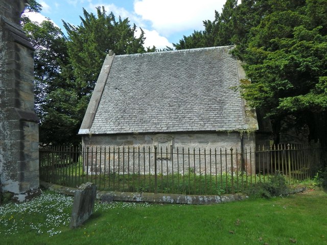
Image: © Lairich Rig Taken: 20 Jun 2014
Large-scale OS mapping shows this building and its enclosing fence just to the north-east of Image It is a mausoleum for the Edmonstones of Duntreath.
Images are licensed for reuse under creativecommons.org/licenses/by-sa/2.0
Image Location
Latitude
55.986008
Longitude
-4.303861