Ruins At Ockendon Hall
Introduction
The photograph on this page of Ruins At Ockendon Hall by Glyn Baker as part of the Geograph project.
The Geograph project started in 2005 with the aim of publishing, organising and preserving representative images for every square kilometre of Great Britain, Ireland and the Isle of Man.

There are currently over 7.5m images from over 14,400 individuals and you can help contribute to the project by visiting https://www.geograph.org.uk
Ruins At Ockendon Hall
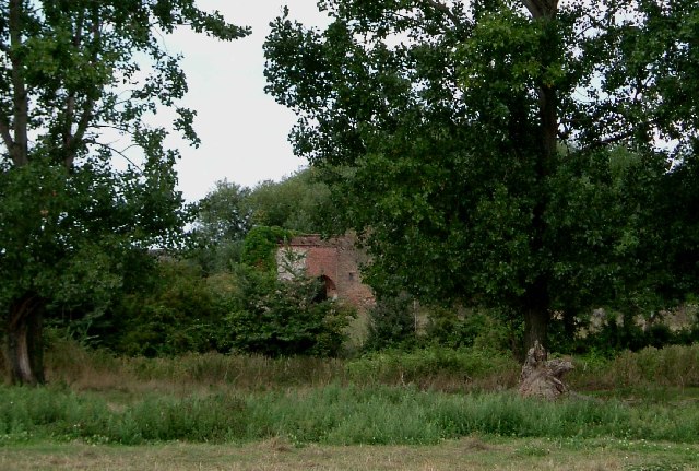
Image: © Glyn Baker Taken: 21 Aug 2005
The ruins seen through the trees and across the moat are probably that of the undershot wheel water mill that stood on this site. Unusually the milling business had dual power there was also the substantial remains of a wooden windmill on the site until it collapsed during a gale in November 1977. NB there is a mistake on older OS maps that refer to Ockenden Hall rather than Ockendon, a common mistake.
Images are licensed for reuse under creativecommons.org/licenses/by-sa/2.0
Image Location
Latitude
51.523141
Longitude
0.310666