Hen Heol Rhydodyn / Old Edwindsford Road
Introduction
The photograph on this page of Hen Heol Rhydodyn / Old Edwindsford Road by Alan Richards as part of the Geograph project.
The Geograph project started in 2005 with the aim of publishing, organising and preserving representative images for every square kilometre of Great Britain, Ireland and the Isle of Man.

There are currently over 7.5m images from over 14,400 individuals and you can help contribute to the project by visiting https://www.geograph.org.uk
Hen Heol Rhydodyn / Old Edwindsford Road
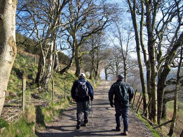
Image: © Alan Richards Taken: 6 Mar 2005
Cerddwyr yn dilyn hen heol a gysylltai Abergorlech a Phlasty Rhydodyn. Walkers following an old road which once linked Abergorlech with Edwnisford Mansion
Images are licensed for reuse under creativecommons.org/licenses/by-sa/2.0
Image Location
Latitude
51.989351
Longitude
-4.015087