Westgate Close, Warwick
Introduction
The photograph on this page of Westgate Close, Warwick by Robin Stott as part of the Geograph project.
The Geograph project started in 2005 with the aim of publishing, organising and preserving representative images for every square kilometre of Great Britain, Ireland and the Isle of Man.

There are currently over 7.5m images from over 14,400 individuals and you can help contribute to the project by visiting https://www.geograph.org.uk
Westgate Close, Warwick
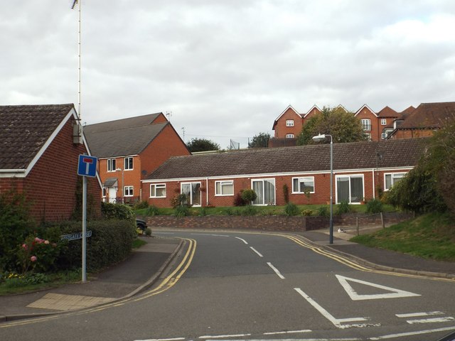
Image: © Robin Stott Taken: 20 Sep 2013
These are characteristic old people's bungalows, built by or for Warwick District Council. The viewpoint is the footpath that emerges from Abbots Way on to Friars Street opposite the close. High on the right is the housing at Martinique Square Image
Images are licensed for reuse under creativecommons.org/licenses/by-sa/2.0
Image Location
Latitude
52.279833
Longitude
-1.592618