B1115 passing Camps Wood
Introduction
The photograph on this page of B1115 passing Camps Wood by David Smith as part of the Geograph project.
The Geograph project started in 2005 with the aim of publishing, organising and preserving representative images for every square kilometre of Great Britain, Ireland and the Isle of Man.

There are currently over 7.5m images from over 14,400 individuals and you can help contribute to the project by visiting https://www.geograph.org.uk
B1115 passing Camps Wood
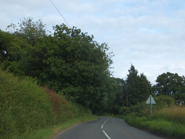
Image: © David Smith Taken: 19 Jun 2014
The road runs past the southern edge of this woodland. The name "Camps Wood" appears on 19th century OS maps.
Images are licensed for reuse under creativecommons.org/licenses/by-sa/2.0
Image Location
Latitude
52.080995
Longitude
0.821044