Bricklayers Arms: site of subway
Introduction
The photograph on this page of Bricklayers Arms: site of subway by Stephen Craven as part of the Geograph project.
The Geograph project started in 2005 with the aim of publishing, organising and preserving representative images for every square kilometre of Great Britain, Ireland and the Isle of Man.

There are currently over 7.5m images from over 14,400 individuals and you can help contribute to the project by visiting https://www.geograph.org.uk
Bricklayers Arms: site of subway
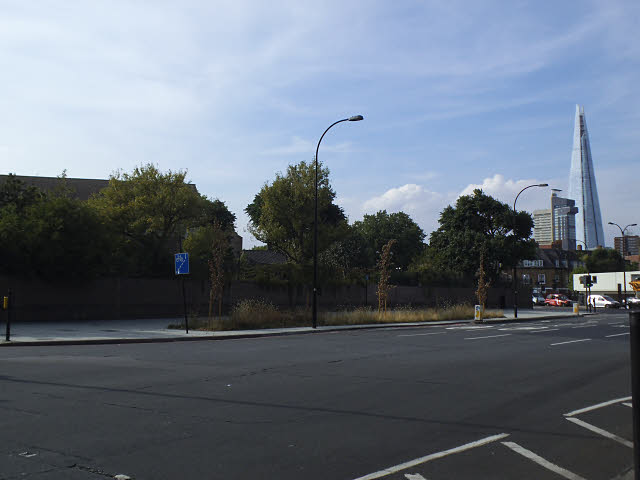
Image: © Stephen Craven Taken: 17 Jul 2014
Where the flower bed is now, used to be the ramp down to a subway. It was removed in 2013. I don't have a photo of the former subway at this side, but Image shown the one at the north-east corner of the roundabout.
Images are licensed for reuse under creativecommons.org/licenses/by-sa/2.0
Image Location
Latitude
51.494506
Longitude
-0.086676