Polhorman Lane
Introduction
The photograph on this page of Polhorman Lane by Bill Boaden as part of the Geograph project.
The Geograph project started in 2005 with the aim of publishing, organising and preserving representative images for every square kilometre of Great Britain, Ireland and the Isle of Man.

There are currently over 7.5m images from over 14,400 individuals and you can help contribute to the project by visiting https://www.geograph.org.uk
Polhorman Lane
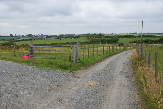
Image: © Bill Boaden Taken: 1 Jul 2014
It goes in the direction of Cury, of which the parish church can be seen far left, but you cannot get directly there because of a river valley with very few crossings.
Images are licensed for reuse under creativecommons.org/licenses/by-sa/2.0
Image Location
Latitude
50.035048
Longitude
-5.24305