Bullfinch Croft/Broomy Mead/Lower Mead
Introduction
The photograph on this page of Bullfinch Croft/Broomy Mead/Lower Mead by Simon Carey as part of the Geograph project.
The Geograph project started in 2005 with the aim of publishing, organising and preserving representative images for every square kilometre of Great Britain, Ireland and the Isle of Man.

There are currently over 7.5m images from over 14,400 individuals and you can help contribute to the project by visiting https://www.geograph.org.uk
Bullfinch Croft/Broomy Mead/Lower Mead
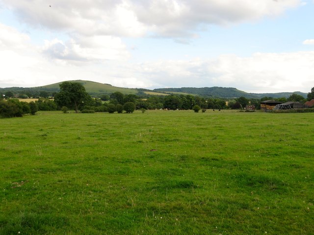
Image: © Simon Carey Taken: 13 Jul 2014
The name of the fields according to Hurstpierpoint's 1842 tithe map that have been merged to form a larger unit. Bulffinch Croft was to the right above Grange Farm adjacent to Bullfinch Lane, Broomy Mead in the foreground at the northern end of the field whilst lower mead occupied the southern part. Wolstonbury Hill and Newtimber Hill can be seen in the distance.
Images are licensed for reuse under creativecommons.org/licenses/by-sa/2.0
Image Location
Latitude
50.931841
Longitude
-0.18984