Albany Church Hall, Haverfordwest
Introduction
The photograph on this page of Albany Church Hall, Haverfordwest by Jaggery as part of the Geograph project.
The Geograph project started in 2005 with the aim of publishing, organising and preserving representative images for every square kilometre of Great Britain, Ireland and the Isle of Man.

There are currently over 7.5m images from over 14,400 individuals and you can help contribute to the project by visiting https://www.geograph.org.uk
Albany Church Hall, Haverfordwest
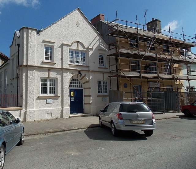
Image: © Jaggery Taken: 18 Apr 2014
Located in Hill Street between Albany Church http://www.geograph.org.uk/photo/4074156 out of shot on the left and Picton's birthplace under scaffolding on the right. http://www.geograph.org.uk/photo/4074179
Images are licensed for reuse under creativecommons.org/licenses/by-sa/2.0
Image Location
Latitude
51.798843
Longitude
-4.971269